🛰️ Aerial Drone Surveying & 3D Mapping Services – UK-Wide
Aerial Inspection & Mapping Experts
Unlock precision, safety, and efficiency with our cutting-edge drone survey services – trusted across the UK for construction, agriculture, infrastructure, real estate, and more.
📍 UK-Wide Drone Survey Services You Can Rely On
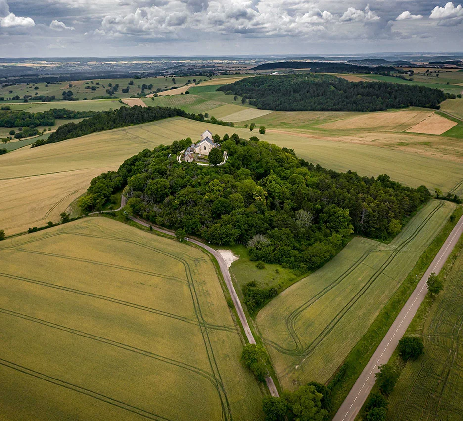
We provide professional drone surveys throughout the UK, delivering high-resolution aerial data faster, safer, and more cost-effectively than traditional surveying methods.
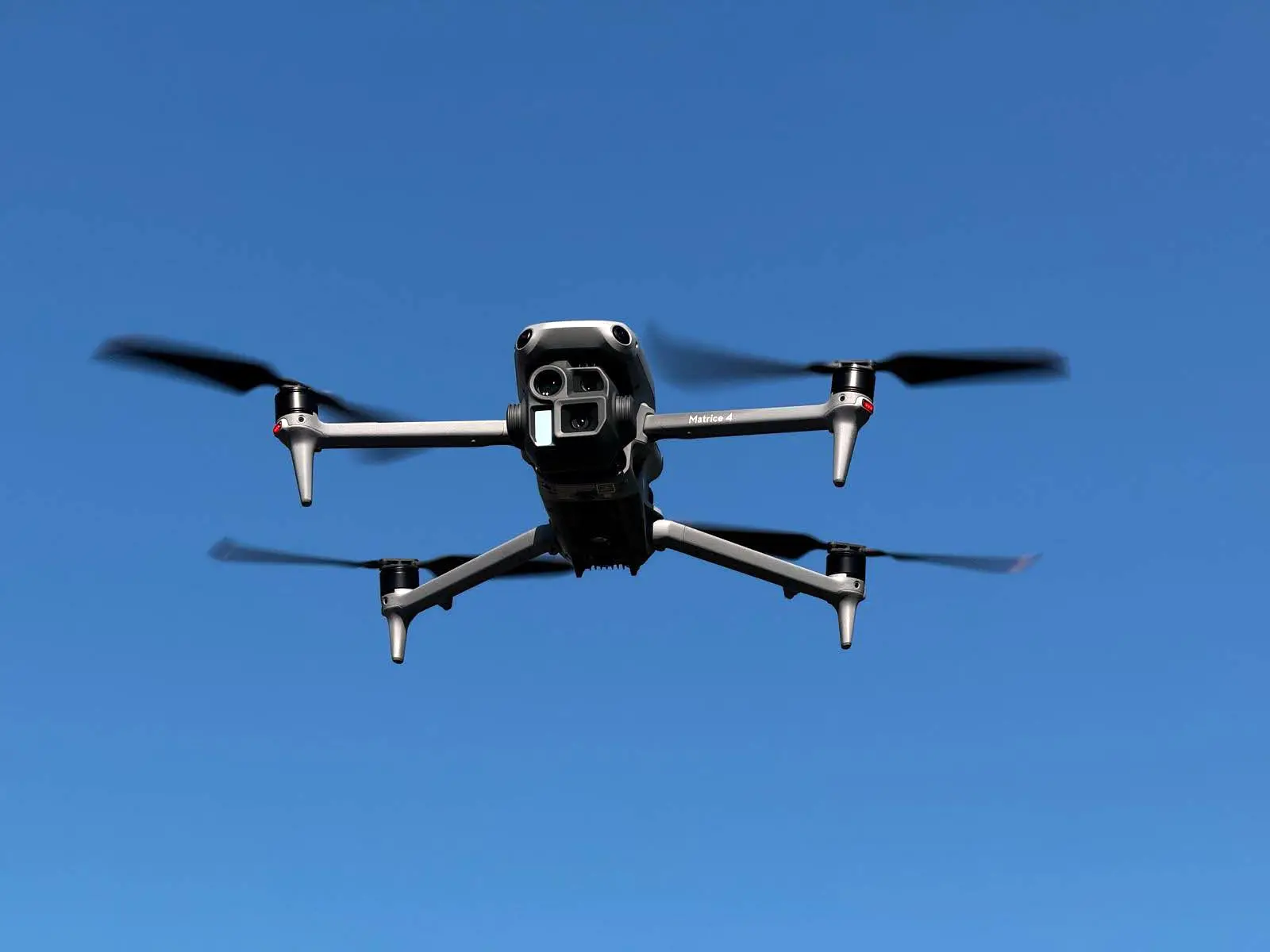
Whether you need land survey, roof inspections or site progress monitoring, our certified drone pilots and advanced UAV drone survey technology are here to provide accurate, actionable insights.
⚙️ What We Offer
-
Topographic Drone Surveys
-
Capture detailed terrain data for planning, development, and design.
-
-
Roof & Building Inspections
-
Access hard-to-reach areas without the need for scaffolding or cherry pickers.
-
-
Construction Progress Monitoring
-
Track and document your project at every stage from the sky.
-
-
Agricultural Drone Survey
-
Assess crop health, irrigation efficiency, and land conditions with precision.
-
-
Thermal Imaging
-
Detect heat loss, electrical faults, and insulation issues from above.
-
-
3D Mapping & Photogrammetry
-
Create digital twins and point clouds for planning and analysis.
-
💼 Industries We Serve
-
Construction & Civil Engineering
-
Renewable Energy (Solar & Wind)
-
Property & Real Estate
-
Agriculture & Land Management
-
Insurance & Loss Adjustment
-
Telecoms & Utilities
🛰️ Aerial Drone Surveying & 3D Mapping Services – UK-Wide
🚁 Why Choose Us?
-
CAA-Certified Drone Pilots
Our operators are fully licensed by the Civil Aviation Authority (CAA) and adhere to all UK drone regulations. -
Nationwide Coverage
From London to Leeds, Cardiff to Edinburgh – we’re ready to deploy anywhere in the UK. -
Fully Insured & Compliant
We carry full public liability insurance and work to the highest safety standards. -
Fast Turnaround
Need your data urgently? We offer same-day or next-day processing options. -
Accurate, High-Resolution Data
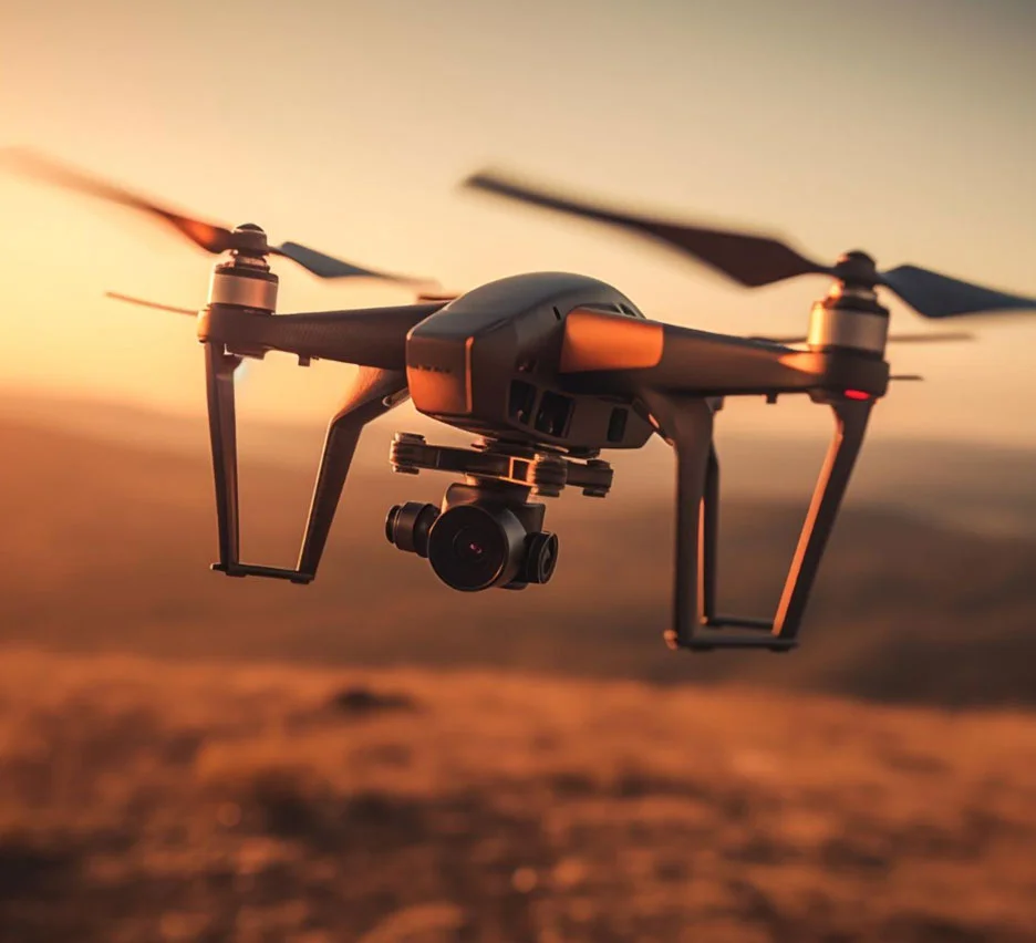
We use the latest drones equipped with 4K cameras, LiDAR, and thermal sensors.
Get in Touch Today!
📞 Ready for Take-Off?
Let’s take your project to new heights. Whether you need a one-off survey or ongoing aerial monitoring, our team is here to help.

Customer Success Stories
Read our customer’s safety success story’s using our video and software solutions

