Drone Surveys for Industrial Sites & Stockpiles
CAA authorised drone surveys for steelworks, ports, quarries, construction sites and commercial roofs. Based in Scunthorpe, covering North Lincolnshire and the Humber same week, and the rest of the UK by arrangement.
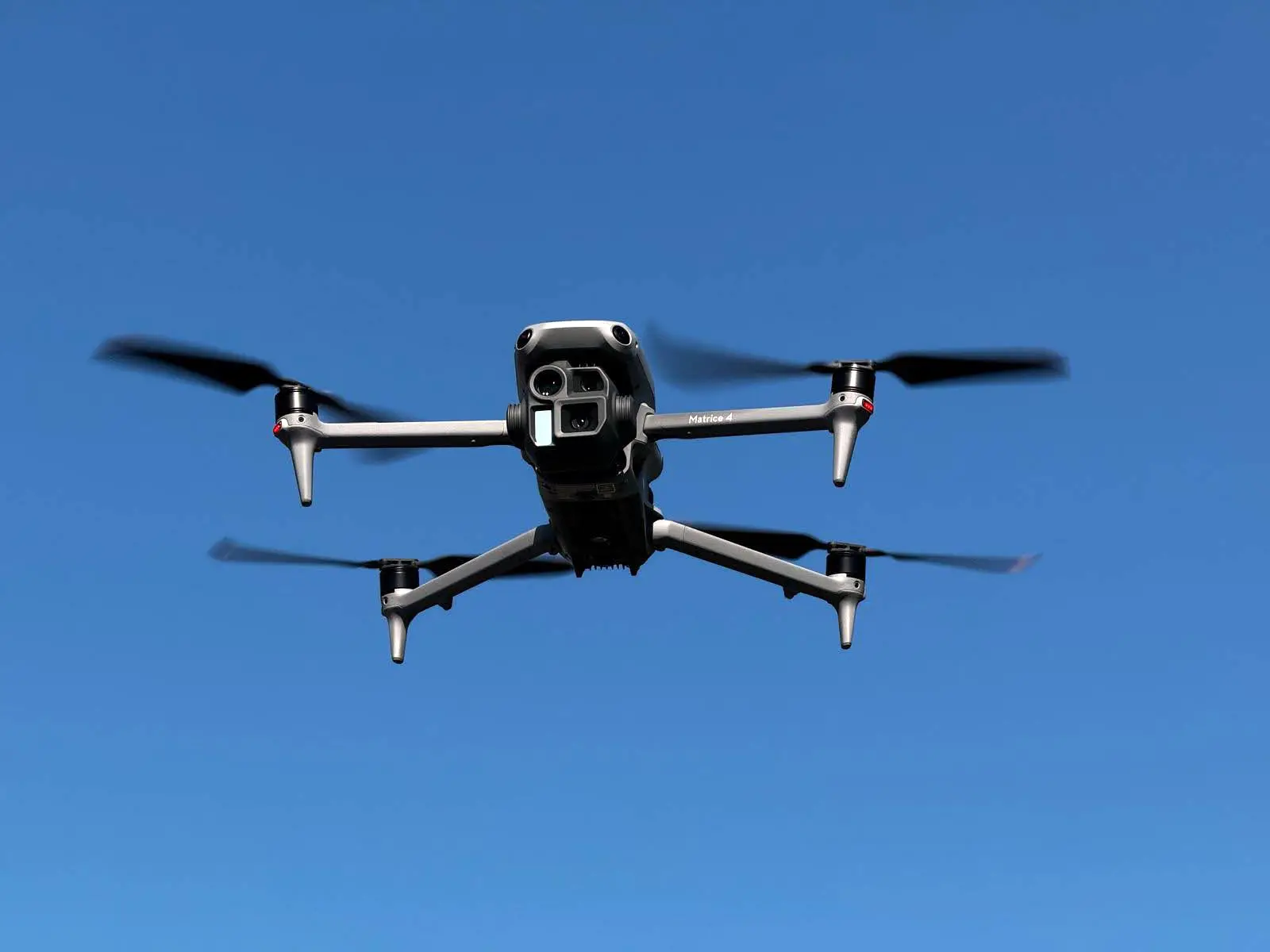
Res Digital flies drone surveys for industrial and commercial clients who need accurate data without putting people at height or on unstable ground. Our pilots hold the CAA General Visual Line of Sight Certificate and operate under an Operational Authorisation, with public liability insurance in place for every flight. Survey data is processed in-house and delivered as volume reports, orthomosaics, 3D models and inspection reports within 48 hours of the flight.

Where Ground Surveys Fall Short
Traditional ground surveys are slow, expensive and often dangerous. Measuring stockpiles means climbing unstable material. Inspecting roofs means scaffolding or a MEWP. Mapping a large site means days of work with a total station. And the data is outdated before the report arrives.
For sites with height, confined spaces, hazardous materials or simply large areas to cover, a drone survey is faster, safer and more accurate than any ground-based method.
How a Drone Survey Works
Our comprehensive drone survey process
Initial Consultation
We assess your site requirements and safety considerations
Drone Survey
Our licensed pilots capture high-resolution imagery and data
Data Processing
Advanced software creates detailed 3D models and reports
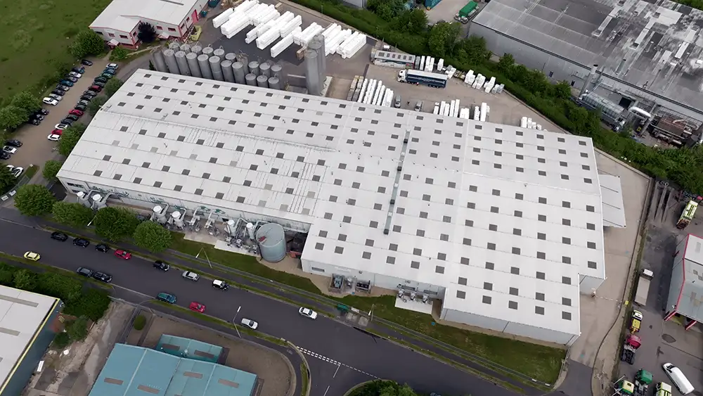
Drone Survey Services
We provide four core survey services, each delivered by CAA authorised pilots with the right sensor for the job:
Stockpile and Volumetric Surveys
Photogrammetry-based volume measurement to ±1.5% accuracy. Monthly monitoring for quarries, steelworks, ports and waste sites. Cut-and-fill, DSM and point cloud deliverables.
Roof Surveys and Inspections
High-resolution imagery of every tile, flashing, gutter and membrane — without scaffolding. Annotated reports for insurance, maintenance and dilapidation surveys.
Thermal Imaging Surveys
Radiometric thermal camera for heat loss, moisture ingress, solar panel fault finding and process plant inspection. Calibrated data, not just pretty pictures.
Photogrammetry and 3D Mapping
Orthomosaics, digital surface models and 3D point clouds. Deliverables in GeoTIFF, LAS, OBJ and DXF for CAD and GIS. Progress monitoring for construction.
See How It Works
Watch a quick demo to see our solution in action
Our Drones, Sensors and Accuracy
RGB Photogrammetry
High-resolution cameras for orthomosaics, 3D models and volumetric surveys. Ground sampling distance down to 1cm/pixel.
Thermal Imaging
Radiometric thermal sensors for heat loss, solar panel inspection, moisture detection and process plant surveys.
RTK/PPK Positioning
Centimetre-accurate positioning without ground control points for most surveys. RTK corrections via NTRIP.
±2cm Accuracy
Achievable with ground control and RTK. Typical stockpile volume accuracy ±1.5%. Conditions and method documented in every report.
In-House Processing
All data processed by our team using Pix4D and Agisoft. No third-party data sharing. Results within 48 hours.
UK Data Storage
Survey data stored on UK servers. Retained for the agreed period. Available for re-processing or comparison with future surveys.
Survey Results
See why industry leaders choose our drone survey services
Across UK & Europe
RTK precision guaranteed
vs traditional methods
From flight to report
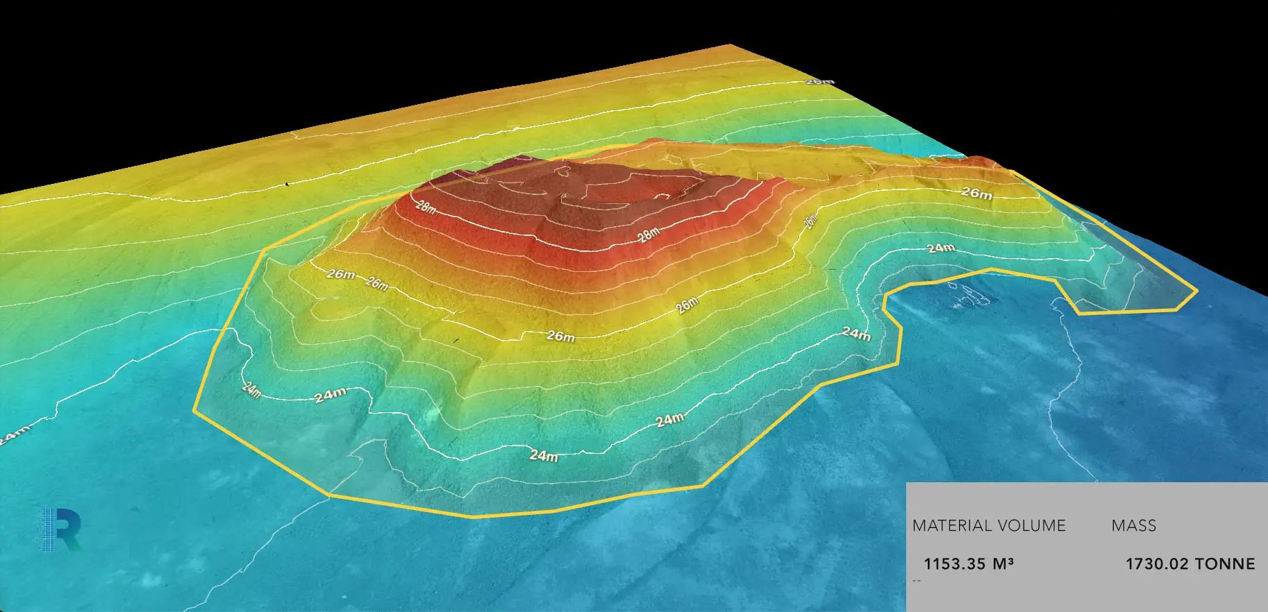
Stockpile and Volumetric Surveys
Our most requested service. Drone-based volumetric surveys measure stockpile volumes to ±1.5% accuracy using photogrammetry — far exceeding manual methods and eliminating the safety risk of climbing stockpiles.
Deliverables include 3D point clouds, digital surface models, cut-and-fill calculations and volume comparison reports against previous surveys. Used by quarries, steelworks, ports and waste management sites for monthly reconciliation and compliance reporting.
The sinter stockpile survey we flew at a North Lincolnshire steelworks identified a £200,000 reconciliation discrepancy in the first month — the kind of error that manual measurement misses entirely.
Photogrammetry and 3D Mapping
Incredible detail produced in three dimensions for easy viewing of hard to reach places
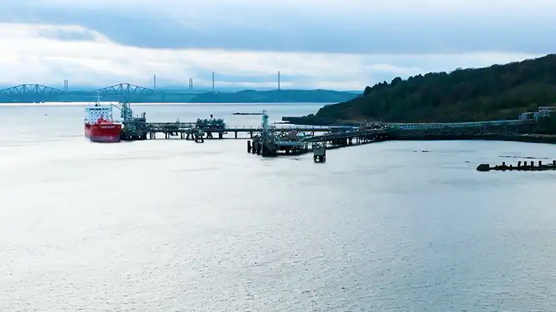
Thermal Imaging Surveys
Our drones carry radiometric thermal cameras that capture calibrated temperature data across every pixel. This is not a handheld thermal image from the ground — it is a complete thermal map of the structure, processed and overlaid on visible imagery.
Applications: building heat loss and insulation failures, solar panel hotspot and bypass diode fault detection, flat roof moisture ingress mapping, industrial process plant inspection, and electrical infrastructure surveys.
Thermal surveys require the right conditions — typically early morning or after sunset, with a minimum temperature differential. We advise on timing as part of the planning.
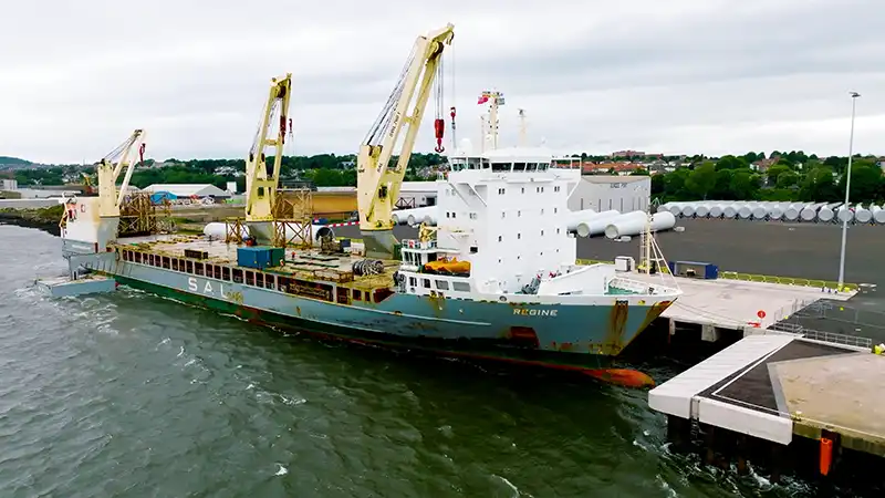
Roof Surveys and Inspections
A drone roof survey captures high-resolution imagery of every part of the roof — tiles, flashings, gutters, outlets, membranes and plant equipment — without scaffolding, cherry pickers or rope access.
Particularly valuable for asbestos cement and fragile roofs where foot traffic is unsafe, large industrial roofs where scaffold cost is prohibitive, and multi-building sites where speed matters.
Deliverables include annotated photographic reports, thermal overlays where moisture ingress is suspected, and measured drawings for repair quoting. Reports are used for insurance claims, dilapidation surveys, planned maintenance and pre-acquisition assessments.
Credentials and Insurance
Operating under a General Visual Line of Sight Certificate (GVC) with Operational Authorisation
Public liability insurance in place for every flight, covering commercial and industrial operations
Achievable with ground control points and RTK positioning. Conditions documented in every report
All data processed by our team using professional photogrammetry software. No third-party data sharing
Survey data processed and reports delivered within 48 hours of the flight for standard surveys
All survey data stored on UK servers and retained for the agreed period
Survey Packages
Professional packages designed for every industry need
Site Survey Essential
Perfect for one-off surveys and smaller sites
Key Benefit
Site Survey Essential helps you achieve operational excellence
Professional Survey Package
Comprehensive surveys with advanced analytics
Key Benefit
Professional Survey Package helps you achieve operational excellence

Enterprise Survey Solution
Full-service program for ongoing survey needs
Key Benefit
Enterprise Survey Solution helps you achieve operational excellence
See How Much You'll Save
Compare drone surveys with traditional methods - the numbers speak for themselves
| Survey Type | Traditional Method | Drone Survey | Your Savings |
|---|---|---|---|
| Roof Inspection (10,000 sq ft) | £3,500 + scaffolding | £750 | Save £2,750 (78%) |
| Quarry Volume Survey | £5,000 (3 days) | £1,200 (4 hours) | Save £3,800 (76%) |
| 100-Acre Site Mapping | £12,000 (1 week) | £2,500 (1 day) | Save £9,500 (79%) |
| Monthly Progress Monitoring | £4,000/month | £800/month | Save £38,400/year |
Sectors We Survey
Stockpile volumetrics, site progress, roof inspections
Monthly volume monitoring, cut-and-fill, compliance
Cargo volumes, yard mapping, infrastructure inspection
Progress monitoring, earthworks, site models
Solar panel thermal, wind turbine, substation surveys
Roof surveys, dilapidation, insurance assessments
Why Choose Res Digital
Safer Operations
Eliminate the need for personnel to work at height or in hazardous areas
Cost Effective
Save up to 75% compared to traditional survey methods
Faster Results
Complete surveys in hours instead of days or weeks
Higher Accuracy
Sub-centimeter precision with RTK GPS technology
Better Documentation
Comprehensive visual records for compliance and planning
Environmental Impact
Minimal disturbance to wildlife and vegetation
Calculate Your Drone Survey ROI
Most clients recover their investment in the first survey. Here's why:
Direct Cost Savings
- ✓ No scaffolding or access equipment (save £2-10k per survey)
- ✓ Reduced labor costs (2 people vs 5-10)
- ✓ Faster completion (hours vs days)
- ✓ No site shutdown required
Hidden Value Benefits
- ✓ Zero safety incidents (no working at height)
- ✓ Better data quality (100% coverage)
- ✓ Historical comparison capability
- ✓ Reduced insurance premiums
What Our Clients Say
“The volumetric survey data was incredibly accurate. We reduced material reconciliation time from days to minutes and caught discrepancies that saved us significant costs in the first month.”
Operations Manager
North Lincolnshire Steelworks
“Thermal imaging found critical faults in our solar array that were invisible to ground inspection. The drone survey paid for itself many times over in prevented downtime.”
Asset Manager
Solar Farm Operator
“Monthly drone surveys transformed our project management. We spot issues weeks earlier, communicate better with stakeholders and have a complete visual record of every stage.”
Site Manager
Major UK Construction Contractor
Areas We Cover
We are based in Scunthorpe, North Lincolnshire and cover the surrounding area same week, with no travel charges:
- Scunthorpe and North Lincolnshire — steelworks, industrial estates, quarries
- Grimsby and Immingham — port stockyards, refineries, food processing
- Hull and the Humber ports — cargo yards, distribution warehouses, docks
- Doncaster — logistics parks, distribution centres, construction
- Lincoln and Lincolnshire — agricultural, solar farms, commercial property
- Sheffield and South Yorkshire — manufacturing, construction, heritage
- East Yorkshire — wind farms, coastal, commercial roofs
- UK wide — by arrangement, travel included in quote
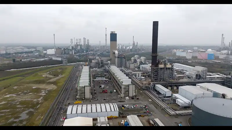
Local site types we survey regularly: steelworks and metal recycling, refineries and chemical plants, port stockyards and bulk terminals, quarries and waste management sites, wind and solar farms, distribution warehouses and construction sites.
Get Your Free Drone Survey Quote
Fill out the form below and we'll get back to you within 24 hours
Get Your Drone Survey Quote
Tell us about your site and what you need surveyed. We will come back with a fixed quote, usually within 24 hours. No obligation, no pressure.